It may sound like a simple question, but many travelers wonder where Buenos Aires is located. This vibrant capital of Argentina is one of the most famous cities in South America and often a first stop for visitors to the continent.
Buenos Aires: General Facts & Location
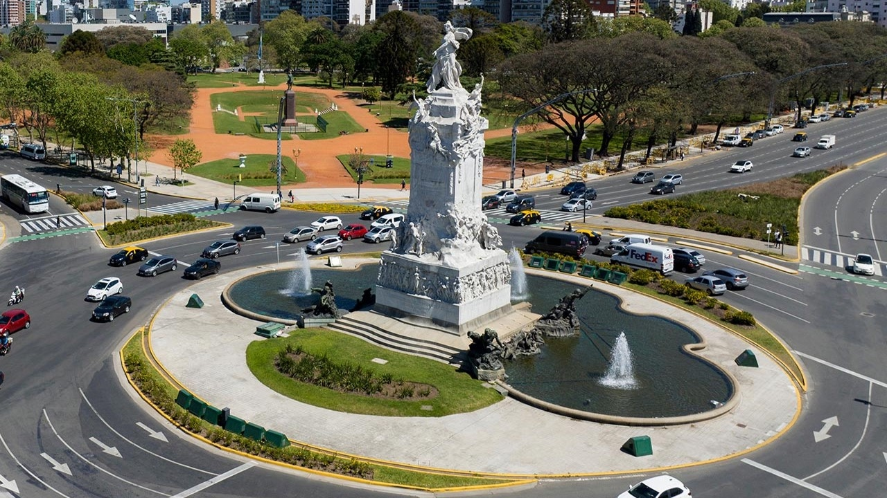
Buenos Aires is the cosmopolitan capital of Argentina. Its heart is Plaza de Mayo, surrounded by impressive 19th-century buildings, including the Casa Rosada, the presidential palace known for its iconic balconies.
Other must-see landmarks include:
Teatro Colón, a world-class opera house from 1908 with seating for 2,500 guests.
MALBA Museum, a modern institution showcasing Latin American art.
Here are some quick facts:
Surface area: 203 km²
Elevation: 25 meters
City population: 3,075,646
Population density: 15,150.96 people/km²
Population including metro area: 17,541,141
Time zone: UTC-3
Buenos Aires combines history, culture, and modern life, making it one of the most dynamic cities in the region.
Where Is Buenos Aires Located on a Map?
Buenos Aires is located in South America, on the eastern coast of Argentina, along the banks of the Río de la Plata. The exact coordinates are 34°36′ south latitude and 58°26′ west longitude.
Just across the river is Colonia del Sacramento, in Uruguay. A little farther away is Montevideo, the Uruguayan capital, 220 km from Buenos Aires—just 25 minutes by plane or 2.5 hours by boat.
Distances from Buenos Aires to other major cities:
Asunción (Paraguay): 1,065 km — approx. 1 hr 50 by plane
Santiago (Chile): 1,139 km — approx. 2 hours by plane
São Paulo (Brazil): 1,719 km — approx. 3 hours by plane
Thanks to its location and accessibility, Buenos Aires serves as a perfect hub for exploring the rest of South America.